Teaching
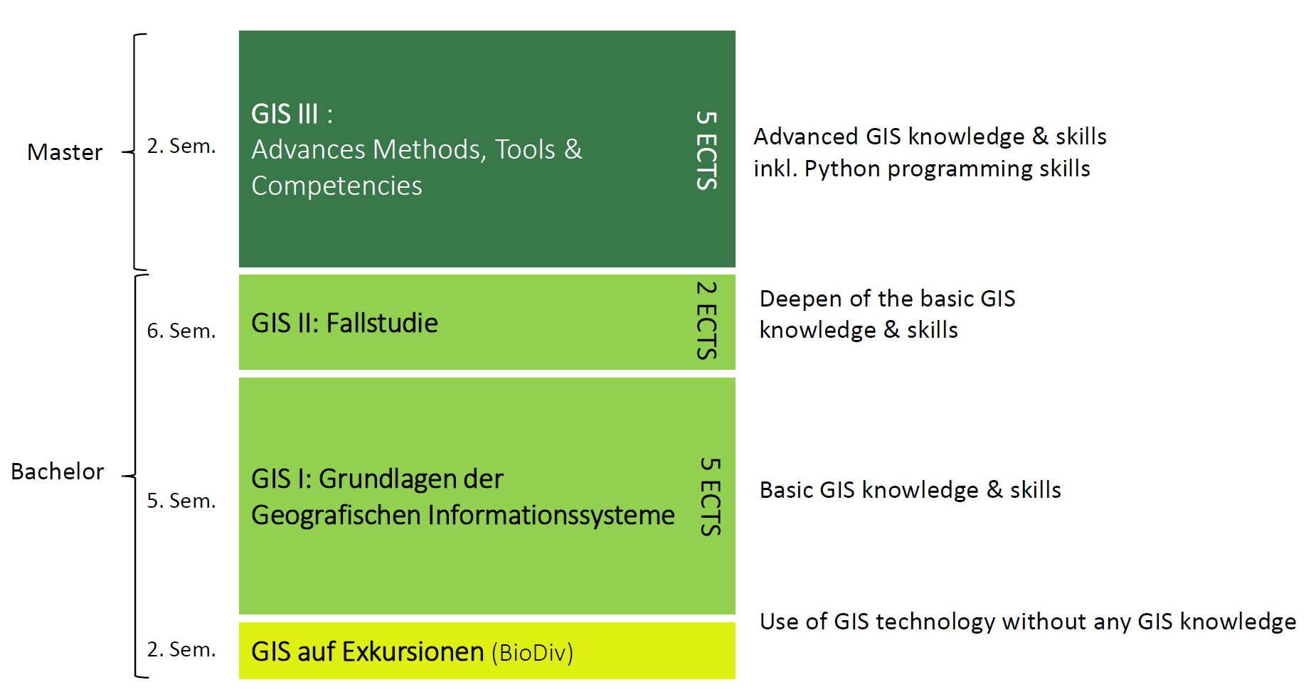
GIS training at D-USYS is both competence- and practice-oriented. As early as the second semester, students gain experience mapping spatial data on field trips, even if they have no prior GIS knowledge.
The GIS I course: Fundamentals of Geographic Information Systems (formerly GIST), provides students with a solid introduction to geoinformation systems.
Students acquire theoretical knowledge and practical skills, which they can then expand upon in the application-oriented GIS II: Case Study course. The advanced course, GIS III: Advanced Methods, Tools & Competencies (formerly SAMO), allows students to expand their skills using concrete examples in areas such as suitability analysis, 3D analysis, network analysis, and programming with Python and ArcGIS.
Our goal is to promote not only GIS competence, but also key interdisciplinary skills such as problem-oriented work, critical thinking, and a reflective and inclusive approach to data and its visualization.