GIS Education at D-USYS

Spatial data are ubiquitous and thus a comprehensive and high-quality basic GIS training is essential for future environmental scientists and agronomists, both in science and in practice.
It is estimated that 80 to 90% of our activities are spatially related. Spatial data or GI systems are increasingly used in everyday life without being aware of it. Classic examples are Google Maps, Open Street Map, the use of location-based services or navigation systems.
As part of the Data Science Initiative, the D-USYS endeavours to bring students into contact with spatial data at an early stage. For example, during the biodiversity excursions (2nd semester BSc. UMNW) or the self-organised excursion in agricultural sciences (2nd semester, BSc. AGRO), students record objects with the help of their smartphones and enter their locations and properties into a map made available online without knowing the technical background.
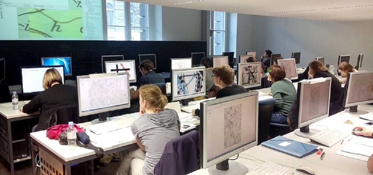
The actual GIS training then begins in the 5th semester, in which the students learn, apply and deepen a typical data science workflow using practical and problem-oriented examples. The aim is to increasingly integrate application examples from the various professorships of the D-USYS as practical examples in the courses. In addition, contact and cooperation with practice is very important to us so that we do not lose sight of their requirements.
In addition to GIS teaching, we also offer Bachelor's theses and co-supervise Master's theses.