Project idea
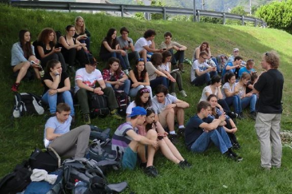
At the Department of Environmental Systems Science, excursions are an important part of the education. For example, the so-called integrated excursions take place in the 2nd semester of the Bachelor's degree program, the aim of which is for students to deal with interdisciplinary issues on site and thus learn to relate the content of different courses to each other. The excursion topics often have a spatial aspect and deal with questions such as: "How can the breeding areas of the tiger mosquito in Ticino be characterized, where are they located and what is their spatial distribution?
In the previous didactic concept, the students prepared themselves by studying literature and received in-depth information in the field. The examination of (spatial) data often remained superficial. This is where the GISsmox project (GIS supported mobile outdoor experiments) comes in.
The idea is to integrate smaller field experiments on excursions that have a spatial component. The students should collect data together over a short period of time (e.g. 30 minutes) and enter their observations or measured values into an app. The corresponding location is recorded by the GPS function of the mobile devices. The results are automatically displayed on a map. This makes it possible to implement the following didactic goals on excursions:
- Students engage more intensively with spatial objects, phenomena or structures on field trips by recording their properties and positions with mobile devices (smartphones or tablets).
- The students experience the capture phase as a collective experiment, as the input of all participants is visible in real time.
- The students experience a new form of near-time and near-space experiment evaluation. Immediately after recording, their own collected data is displayed together on the mobile devices on site, analysed, interpreted and used to discuss specific questions.
Within the framework of GISsmox, a new type of active learning on excursions was developed. This is based on the idea that active engagement with spatial structures through their recording and visualisation consolidates and deepens knowledge. This was made possible by developments in mobile communications and GIS. These opened up new possibilities for the simple recording, visualisation and interpretation of spatial data in the context of courses, especially on excursions.
GISsmox is an interdepartmental and independent project that was financially supported by the Innovedum Fund of ETH Zurich for the years 2014 and 2015.